geographic information systems
AZ Transmission Futures
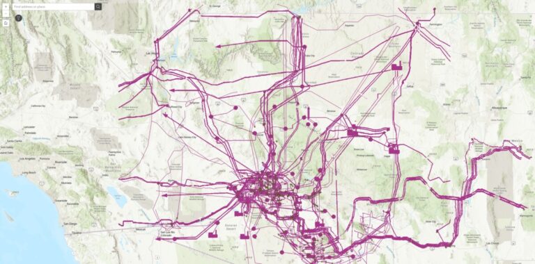
The AZ Transmissions project at Arizona State University uses advanced geospatial technology to map and analyze Arizona’s power infrastructure. A team of students and professionals is extracting data from complex PDFs, georeferencing maps, and automating data extraction using GIS software. The goal is to transform static maps of transmission lines and power stations into interactive,…