ArcGIS
Maricopa County Digital Twins
The digital twins for Maricopa County are crucial tools for understanding and addressing disparities in broadband access across diverse communities in Maricopa County. By creating a virtual representation of the county’s infrastructure, including broadband connectivity and accessibility, we aim to uncover data-driven insights to better serve underserved areas. Access to reliable broadband is essential for…
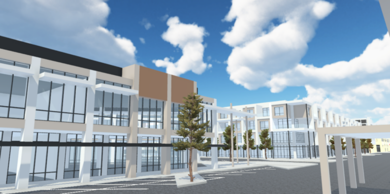
City of Surprise Digital Twin
WESTMARC and the City of Surprise partnered with ASU Next Lab to create the first digital twin of the City of Surprise, targeting both investors and residents. The digital twin includes two key features: City Data View, a 3D map with real-time ArcGIS/Esri data, and Street & Ground Views, allowing users to navigate Elm Street…